tech

Many technologies now exist to monitor land at a range from scales, from hand-held sensors and simple cameras, through tractor mounted sensors, drones, aeroplanes through to satellites.

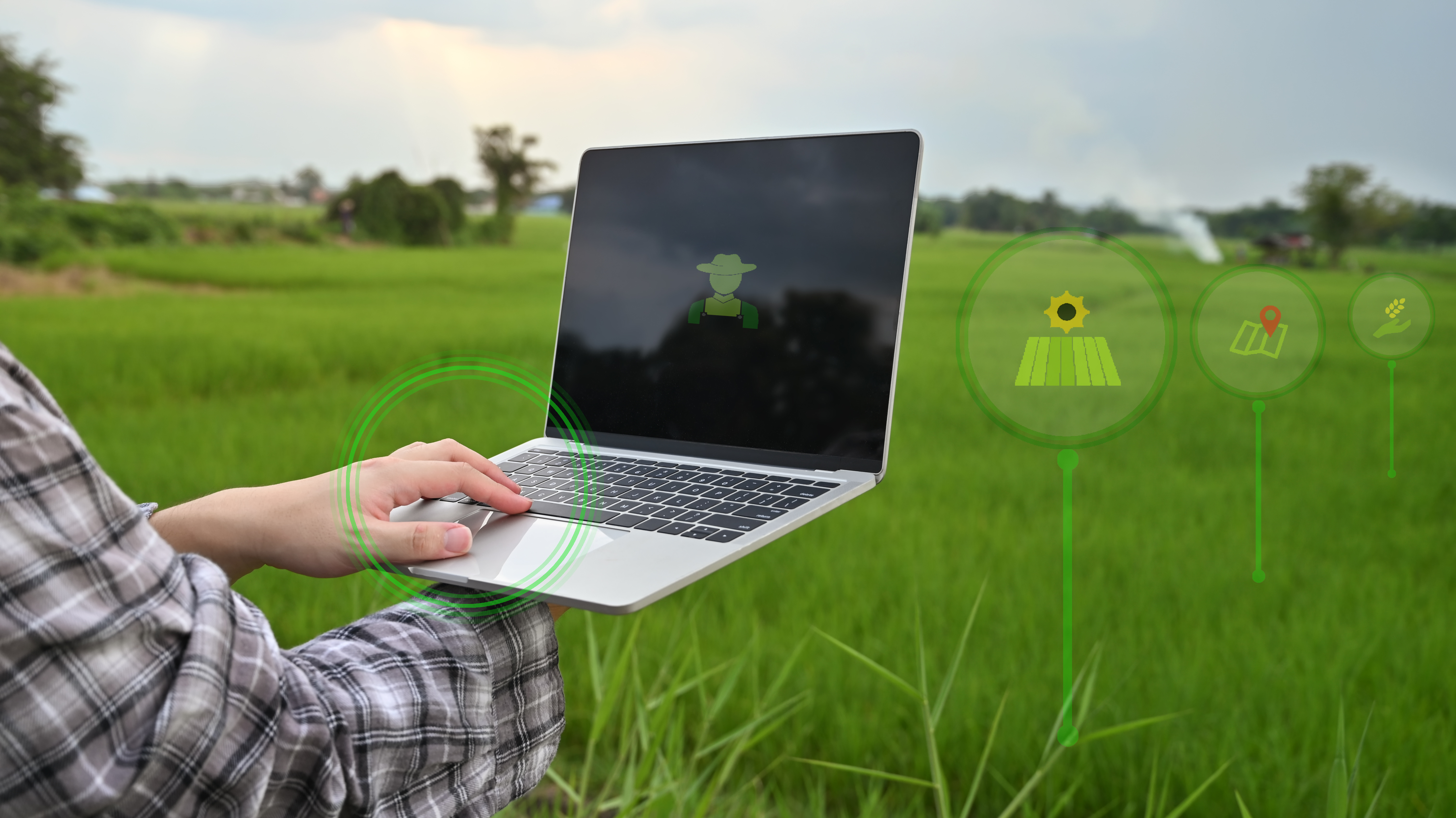
Simple vegetation indices like NDVI are readily available from multiple places, especially now that free satellite data is now available from the EU Copernicus program's Sentinel 1 & Sentinel 2 satellites. 

The UK Space Agency (UKSA) supports development of Earth Observation services in the UK, the European Space Agency (ESA) across Europe. 

See relevant organisations, resources and projects below - Sign in and join this page to edit and add more.

Related Organisations

Content below is from across the PEP community and is not necessarily endorsed by Stewards or by PEP

Topic Comments

Discussion

Useful LinkedIn post and video:


0

Connected Content

Agriculture now generates vast amounts of data of different types and at different scales. The ownership, access, control, sharing, value, permissioning, intergration, security, safeguarding and sovereignty of this data represent multiple challenges and opportunities for the sector.

This Livestock and Pasture study is part of the wider UKRI STFC-funded EO4Agroclimate programme.  

The standard way to measure and monitor soils has been through soils samples taken to 15-30cm in representative W patterns. A range of technologies are now available commercially and in development to provide higher resolution data across a wider range of metrics. This page provides a space to share and discuss the available and coming tools, services and technologies.

The agri-tech sector is vibrant and growing, with many exciting companies, organisations and networks are working to develop agri-tech solutions.

Unmanned aerial vehicles (UAVs), more commonly known as drones, are being increasingly used in agriculture to improve farming efficiency and productivity.

As a specialist postgraduate university, Cranfield’s world-class expertise, large-scale facilities and unrivalled industry partnerships are creating leaders in technology and management globally

Paper in Agronomy, 2021 by Jason B. Cho, Joseph Guinness Tulsi Kharel, Ángel Maresma, Karl J

Pioneering innovation, technology and precision engineering for UK farming. 

A range of digital technologies promise to transform agriculture, including sensing, robotics, artificial intelligence, wireless networks & IoT, big data, decision support tools, modelling, digital twins and precision farming. 

Some of the commercially available digital tools & software include: Fieldview - Bayer Granular - Corteva Xarvio - BASF John Deere Operations Centre Omnia Agleader SMS Breedr Fieldmargin Yagro Geopard AgAnalytics Data Baler Agrible Habiterre Combyne MyFarms CropTrak Trinity Agtech - Sandy AgTools Agricircle   Join this page to add and edit  

BEIS and STFC supported programme aiming to explore the opportunities for Earth Observation to provide solutions for agriculture and climate change, through collaborations between the UK and Australia.

Precision farming involves the use of GPS, sensing and control technologies to use spatial data to manage soils, crops and livestock. 

The INNO-VEG project aims to increase the speed and uptake of innovation in the field vegetable and potato sectors by: Defining and implementing a new approach for delivering cost-effective research. Establishing a cross border innovation network which will create the framework conditions for innovation to facilitate uptake of the new approach.

Remote sensing solution for Crop Intelligence

Mercury Environmental Systems Ltd. is a commercial organisation developing value-added applications from space-based data. The company’s core offering is the provision of data to aid farming, ecological and environmental decision-making, which is produced via a crop model that is constrained by satellite data. 

Pasture Optimisation for Resilience and Livelihoods (PASTORAL) will work with farmers to co-design a new digital platform to help improve data to inform on-farm decision making to increase farm productivity and carbon efficiency using satellite data to plan pasture management.    

Precision farming software and services integrating layers of data.

ipaast-czo: Interoperable Precision Agricultural and Archaeological Sensing Technologies Remote and near-surface sensing technologies such as satellite imaging, UAV imaging, and geophysical survey are used in the practice of precision agriculture to support farmers and land managers to make data-driven management decisions. Archaeologists use many of these same sensing technologies to investigate the buried evidence for past human activities and make this evidence for the heritage of agricultural landscapes visible. Fundamentally, practitioners and researchers in both precision agriculture and archaeology are invested in developing a better understanding of soil conditions and their impacts on plant development by using advanced sensing technologies and related analytical methods. Consequently, there is a vast, untapped potential for sharing data and analytical approaches, enabling new research in both domains at an unprecedented scale and level of detail, leading to enhanced interpretations of the character of the agricultural landscape.    

As pioneers in UK precision farming since 1993 we know the difference between sustainable improvements to crop production and the latest trends. Our early commitment to the principle of applying inputs at the right rate and in the right place led the way for 20 years of scientific innovation. Today, SOYL still leads the way and our commercial services are backed by the UK’s largest precision farming specific research and development programme.

We help our customers understand, monitor and predict the environment – agriculture, land, and climate risks are our particular focus areas.

Map of crop type for every field in the UK since 2016, produced by CEH & RSAC. 

Precision farming company with 20 years experience, based in Scotland but active across the UK. 

Combining space and agricultural expertise for the UK to become the global leader in connectivity enabled agriculture and supply chain research, products, and services.

Providing accurate measurements that enable nature based solutions

After four years acting as a 3rd party distributor of various software and hardware, and a highly experienced training school, In 2019, frustrated with existing drone-based, crop monitoring methods, they decided to develop their own smartphone app called "Skippy Scout".

Cofund on Sustainable Crop Production from EU ERA-NET programme

Helping farmers profit, naturally.  Our mission is to support farmers in the transition to more sustainable, regenerative farming practices. 

Useful advice leaflet from Scotland's Farm Advice Service on drones/UAVs and their application in

Article posted on Agrimetrics website June 2022: What doe

Article in Remote Sensing about estimating wheat yields from satellite data:

Crop canopy sensing – your virtual farm walk?

You need to measure to be able to manage. Yet most farms for most crops don't have a systematic approach to monitoring their crops through the season. This means we lose the opportunity to compare across fields, farms and years. There are now a suite of technologies to sense crops and the ability to share data across farms, providing the opportunity to learn what works on-farm.

CEH

Centre for Ecology & Hydrology

Measurement and forecasting of weather is a major interest in agriculture

Corteva is a global R&D focused agribusiness

TO INNOVATE FOR A BETTER WORLD, EMPOWERED BY SPACE.   

Remote Sensing Applications Consultants Ltd (RSAC) specialises in agricultural and forestry applications of remote sensing.  

Environment Systems is an environmental and agricultural data consultancy. We are trusted providers of evidence and insight to governments and industry across the world.

Digital agriculture is no longer a trend, but has arrived on many fields & farms across the globe. SKYFLD supports you with planning and monitoring your crops, production of high-quality food with a focus on sustainability, and strengthening your ecological and economic balance sheet.

My name is Kevin Milner and I would like to take this opportunity of introducing you to the services I offer as a specialist Farming and Estate Photographer. I am a fully qualified and CAA licensed Drone operator, and you can see examples of my work at www.kevinmilnercountryside.co.uk.

A project run by ADAS and HMC Peas, under a programme of and funded by the European Space Agency. The project aims to use satellite imagery to estimate final yield of vining peas, to maximise the efficiency and profitability of harvest and processing. The project runs from September 2023 to May 2024.

The INNO-VEG project is developing innovative methods for carrying out research into

Write whatever you want here - this is the main section. You can add links, add pictures and embed videos. To paste text from elsewhere use CTRL+Shift+V to paste without formatting. Add videos by selecting 'Full HTML' below, copying the 'embed html' from the source page (eg Youtube), clicking 'Source' above and pasting where you want the video to appear.
You can upload an image here. It can be jpg, jpeg, gif or png format.
Upload requirements

You can upload a file here, such as a pdf report, or MS Office documents, Excel spreadsheet or Powerpoint Slides.

Upload requirements
Authors Order
Add Authors here - you can only add them if they already exist on PEP. Just start writing their name then select to add it. To add multiple authors click the 'Add another item' button below.

Please ensure that you have proof-read your content. Pages are not edited further once submitted and will go live immediately.

Configure the meta tags below.

Use tokens to avoid redundant meta data and search engine penalization. For example, a 'keyword' value of "example" will be shown on all content using this configuration, whereas using the [node:field_keywords] automatically inserts the "keywords" values from the current entity (node, term, etc).

Browse available tokens.

Simple meta tags.

The text to display in the title bar of a visitor's web browser when they view this page. This meta tag may also be used as the title of the page when a visitor bookmarks or favorites this page, or as the page title in a search engine result. It is common to append '[site:name]' to the end of this, so the site's name is automatically added. It is recommended that the title is no greater than 55 - 65 characters long, including spaces.
A brief and concise summary of the page's content, preferably 150 characters or less. Where as the description meta tag may be used by search engines to display a snippet about the page in search results, the abstract tag may be used to archive a summary about the page. This meta tag is no longer supported by major search engines.

Meta tags that might not be needed by many sites.

Geo-spatial information in 'latitude; longitude' format, e.g. '50.167958; -97.133185'; see Wikipedia for details.
Geo-spatial information in 'latitude, longitude' format, e.g. '50.167958, -97.133185'; see Wikipedia for details.
Robots
A comma-separated list of keywords about the page. This meta tag is used as an indicator in Google News.
Highlight standout journalism on the web, especially for breaking news; used as an indicator in Google News. Warning: Don't abuse it, to be used a maximum of 7 times per calendar week!
This meta tag communicates with Google. There are currently two directives supported: 'nositelinkssearchbox' to not to show the sitelinks search box, and 'notranslate' to ask Google not to offer a translation of the page. Both options may be added, just separate them with a comma. See meta tags that Google understands for further details.
Used to rate content for audience appropriateness. This tag has little known influence on search engine rankings, but can be used by browsers, browser extensions, and apps. The most common options are general, mature, restricted, 14 years, safe for kids. If you follow the RTA Documentation you should enter RTA-5042-1996-1400-1577-RTA
Indicate to search engines and other page scrapers whether or not links should be followed. See the W3C specifications for further details.
Tell search engines when to index the page again. Very few search engines support this tag, it is more useful to use an XML Sitemap file.
Control when the browser's internal cache of the current page should expire. The date must to be an RFC-1123-compliant date string that is represented in Greenwich Mean Time (GMT), e.g. 'Thu, 01 Sep 2016 00:12:56 GMT'. Set to '0' to stop the page being cached entirely.

The Open Graph meta tags are used to control how Facebook, Pinterest, LinkedIn and other social networking sites interpret the site's content.

The Facebook Sharing Debugger lets you preview how your content will look when it's shared to Facebook and debug any issues with your Open Graph tags.

The URL of an image which should represent the content. The image must be at least 200 x 200 pixels in size; 600 x 316 pixels is a recommended minimum size, and for best results use an image least 1200 x 630 pixels in size. Supports PNG, JPEG and GIF formats. Should not be used if og:image:url is used. Note: if multiple images are added many services (e.g. Facebook) will default to the largest image, not specifically the first one. Multiple values may be used, separated by a comma. Note: Tokens that return multiple values will be handled automatically. This will be able to extract the URL from an image field if the field is configured properly.
The URL of an video which should represent the content. For best results use a source that is at least 1200 x 630 pixels in size, but at least 600 x 316 pixels is a recommended minimum. Object types supported include video.episode, video.movie, video.other, and video.tv_show. Multiple values may be used, separated by a comma. Note: Tokens that return multiple values will be handled automatically.
A alternative version of og:image and has exactly the same requirements; only one needs to be used. Multiple values may be used, separated by a comma. Note: Tokens that return multiple values will be handled automatically. This will be able to extract the URL from an image field if the field is configured properly.
The secure URL (HTTPS) of an image which should represent the content. The image must be at least 200 x 200 pixels in size; 600 x 316 pixels is a recommended minimum size, and for best results use an image least 1200 x 630 pixels in size. Supports PNG, JPEG and GIF formats. Multiple values may be used, separated by a comma. Note: Tokens that return multiple values will be handled automatically. This will be able to extract the URL from an image field if the field is configured properly. Any URLs which start with "http://" will be converted to "https://".
The type of image referenced above. Should be either 'image/gif' for a GIF image, 'image/jpeg' for a JPG/JPEG image, or 'image/png' for a PNG image. Note: there should be one value for each image, and having more than there are images may cause problems.
The date this content was last modified, with an optional time value. Needs to be in ISO 8601 format. Can be the same as the 'Article modification date' tag.
The date this content was last modified, with an optional time value. Needs to be in ISO 8601 format.
The date this content will expire, with an optional time value. Needs to be in ISO 8601 format.

A set of meta tags specially for controlling the summaries displayed when content is shared on Twitter.

Notes:
  • no other fields are required for a Summary card
  • Photo card requires the 'image' field
  • Media player card requires the 'title', 'description', 'media player URL', 'media player width', 'media player height' and 'image' fields,
  • Summary Card with Large Image card requires the 'Summary' field and the 'image' field,
  • Gallery Card requires all the 'Gallery Image' fields,
  • App Card requires the 'iPhone app ID' field, the 'iPad app ID' field and the 'Google Play app ID' field,
  • Product Card requires the 'description' field, the 'image' field, the 'Label 1' field, the 'Data 1' field, the 'Label 2' field and the 'Data 2' field.
A description that concisely summarizes the content of the page, as appropriate for presentation within a Tweet. Do not re-use the title text as the description, or use this field to describe the general services provided by the website. The string will be truncated, by Twitter, at the word to 200 characters.
By default Twitter tracks visitors when a tweet is embedded on a page using the official APIs. Setting this to 'on' will stop Twitter from tracking visitors.
The URL to a unique image representing the content of the page. Do not use a generic image such as your website logo, author photo, or other image that spans multiple pages. Images larger than 120x120px will be resized and cropped square based on longest dimension. Images smaller than 60x60px will not be shown. If the 'type' is set to Photo then the image must be at least 280x150px. This will be able to extract the URL from an image field if the field is configured properly.
The MIME type for the media contained in the stream URL, as defined by RFC 4337.